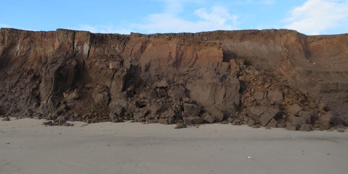
New Zealand coastal changes tracked using high-resolution satellite data
Earth Sciences NZ is using satellite data to monitor how New Zealand's coastlines are changing due to climate change.
Earth Sciences NZ has begun using new high-resolution satellite data to track coastal changes across New Zealand in response to climate change. The technology allows researchers to monitor how coastal areas are shifting and transforming over time.
Covered byRNZNot covered byStuffNZ Herald1NewsNewstalk ZBOtago Daily TimesNewsroomThe SpinoffBusinessDeskinterest.co.nz
Coverage across the news outlets we track, as at publication.
What outlets are saying
RNZ
High resolution satellite data used to monitor coastal changes
Earth Sciences NZ has been using new satellite data to track how coastal areas of New Zealand are changing in the face of climate change.